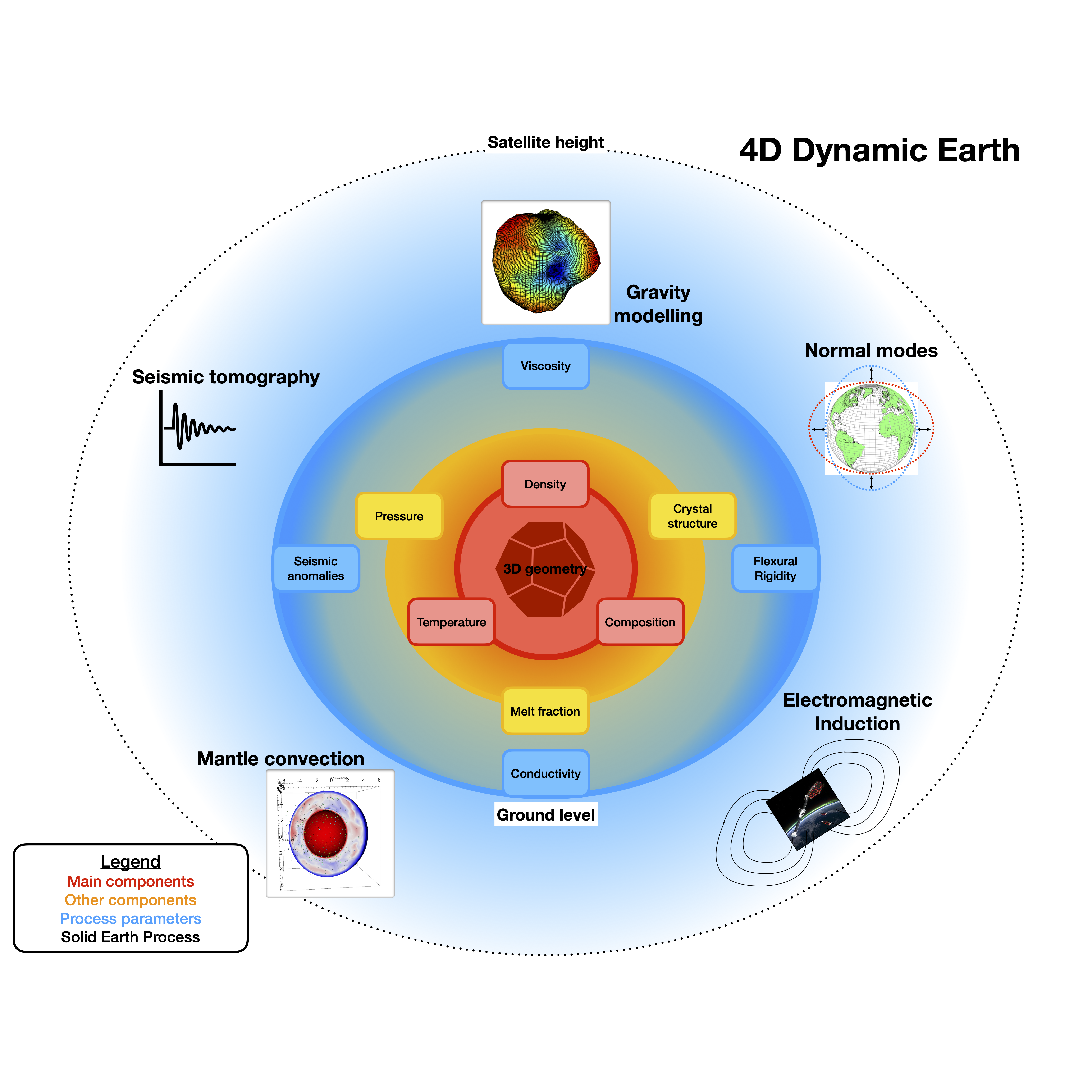
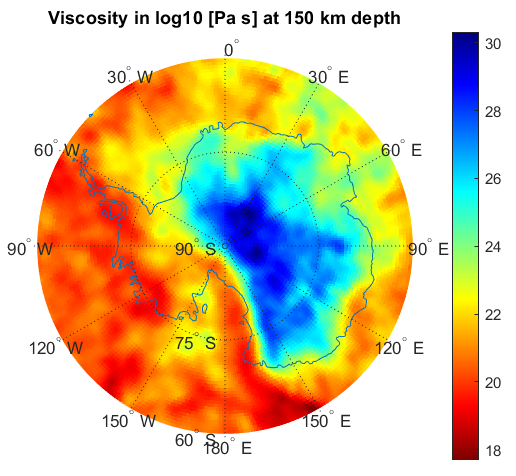
During the 4D Dynamic Earth project, different sensitivity studies are performed to understand the applicability of current ground and satellite datasets available to study the dynamical behaviour of the solid Earth, in particular the complete mantle. The following datasets are studied in relation to the dynamic Earth:
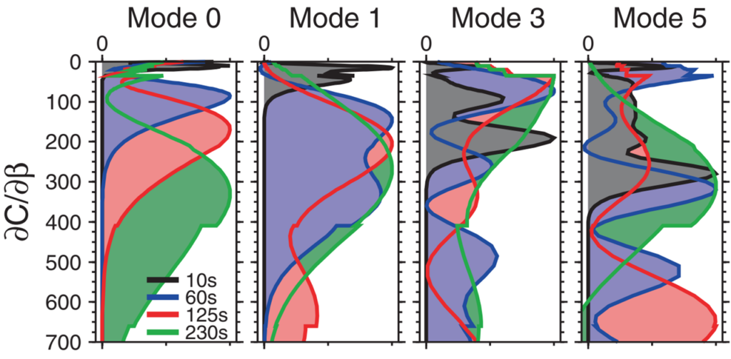
- Seismic (velocity anomalies, anisotropy, temperature, density)
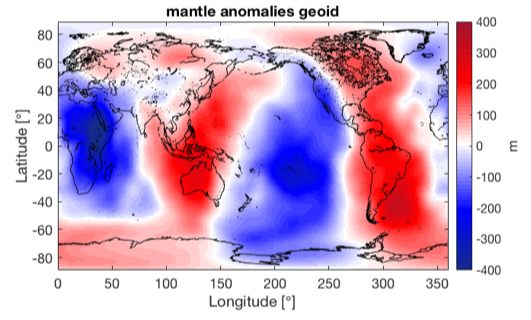
- Gravity (density, viscosity)
- Magnetic data (depth sensitivity, conductivity)
- GPS and InSAR(viscous responds, viscosity, temperature, composition)
- Petrology (Composition, velocity->temperature, density)
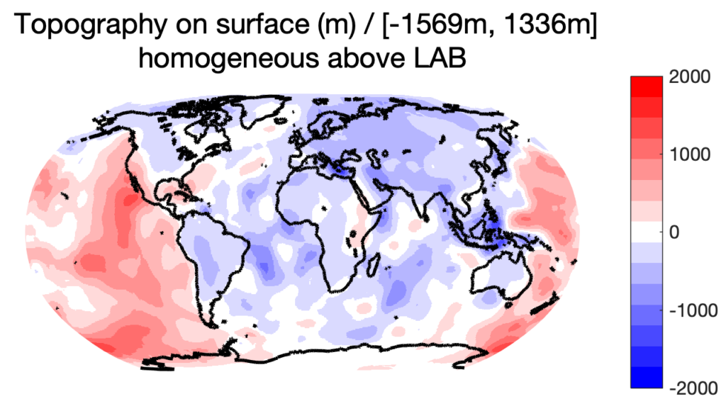
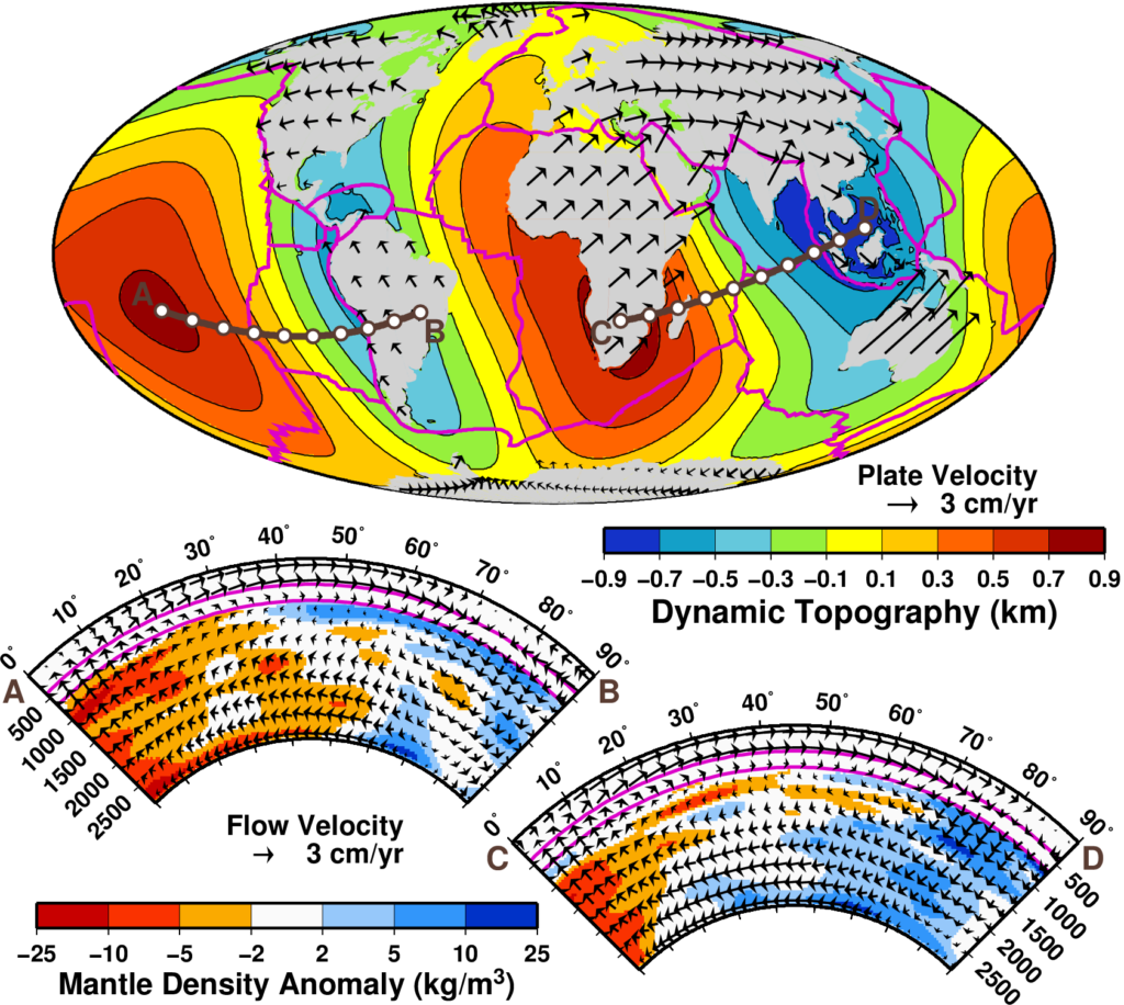
- (Dynamic) Topography (Elastic responds of the lithosphere)
These physical parameters are studied for the lower mantle and transition zone, as well as re-analysed together with a dynamic model for the lithosphere (WINTERC-G). This will result in to a roadmap towards a consistent whole-Earth mantle to incorporates ground and satellite data in a state-of-the-art modelling approach.
The project is funded by the European Space Agency